Last War: Survival
Custom Map Planner
Build a clean layout on an official world-map sector with game-backed footprints, extracted assets, live collaboration and a readable Export Picture output.
Build a clean custom world layout when the event-specific planner is too rigid. The board starts blank, uses a 120 x 120 grid by default, and prefers decoded game-table footprints for cities, strongholds, seasonal objects and resource sites. Objects without a matched game row are kept as manual-review items instead of pretending to be verified.
Set up the board
1 Name the plan, keep the grid near 80 for large world layouts, then use Snap to keep objects aligned to cells. Custom grids can be reduced for compact base sketches or increased for larger map drafts.
2 Open Elements, pick a building type, and click the canvas. Game-backed entries use the decoded footprint and any decoded polluted or influence area from the local client tables.
3 Use Environment for lakes, mountains, rocky areas and the Sphinx footprint. These objects reserve space so buildings do not overlap map blockers.
Mobile workflow
1 Pan is enabled by default so the canvas does not fight scrolling. Disable Pan only when you are ready to place objects.
2 Long-press an object to drag it. Use two fingers or Pan mode to move around the board without changing the layout.
3 Use Labels only while checking the layout. Turn labels off again when the map needs to stay visually clean.
Object sizes
 Resource nodesIron Mine, Farmland, Gold Mine and Diamond Vein use 1 x 1 from
the decoded world gathering table.
Resource nodesIron Mine, Farmland, Gold Mine and Diamond Vein use 1 x 1 from
the decoded world gathering table.
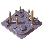 Burned BaseBurned Base uses the same explicit 3 x 3 game-grid base footprint
as normal base placement.
Burned BaseBurned Base uses the same explicit 3 x 3 game-grid base footprint
as normal base placement.
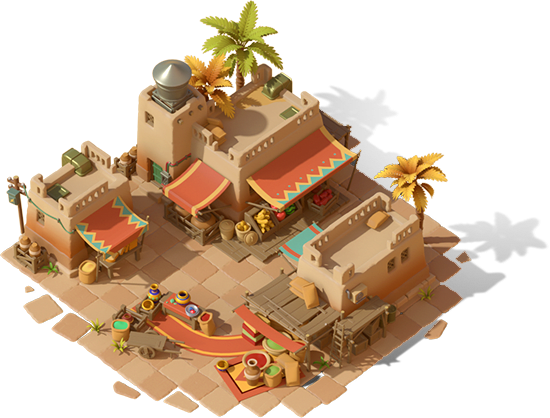 Trade PostS3 Trade Post decodes as 5 x 5 with a 9 x 9 polluted area.
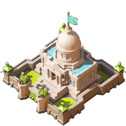 S0 City hierarchyCity levels 1-7 decode as 7 x 7. Giant Cannon decodes as 3 x
3.
S0 City hierarchyCity levels 1-7 decode as 7 x 7. Giant Cannon decodes as 3 x
3.
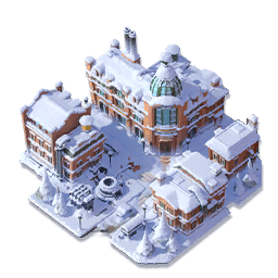 Season objectsSnow, London, S2 and S3 buildings are grouped from extracted assets
and sized from decoded `season_city_*` tables when matched.
Season objectsSnow, London, S2 and S3 buildings are grouped from extracted assets
and sized from decoded `season_city_*` tables when matched.
 S3 tactical objectsBeast Tamer and Trap stay manual-review until their exact world-map
size table is matched.
S3 tactical objectsBeast Tamer and Trap stay manual-review until their exact world-map
size table is matched.
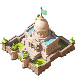 CapitolDecoded S0 City Level 7 footprint is 7 x 7.
Share and export
1 Live Collaboration creates one shared link so officers can edit the same layout together. Add an optional password when the board should not be opened by everyone who sees the link.
2 Export Picture renders only the current map and Plan Name as a PNG for Discord, Telegram or in-game chat. The collaboration link and password are never printed on the image.
Tip: Keep the board sparse. Use object size, spacing and labels to communicate the layout before adding extra decoration.
Export only the current map and Plan Name as a clean dracgon.tech PNG.
Invite your alliance with a shared link. Add a password if only officers should edit it.
Quick answer
Custom Map Planner
What does the Custom Map Planner export?
It exports the current custom world-map layout with verified footprints, selected objects, plan name, and dracgon.tech branding.
Formula
Image export = current custom canvas + selected assets + plan metadata.
Calculation method
- Choose a map skin and objects.
- Place verified-footprint assets on the grid.
- Export the current layout only.
Limits
Map coordinates and planner presets are maintained from available game data and manual checks; live server diplomacy and alliance rules still need human confirmation.